South from Arnside return over Arnside Knott.
Start. Arnside.
Route. Arnside - New Barns - Blackstone Point - Park Point - Far Arnside - Heathwaite - Arnside Knott - Red Hills - Arnside.
Notes. I'd spent all morning and the majority of the afternoon watching the rain driving against the living room window. By late afternoon it had stopped, a single ray of sunlight cut through the dark clouds, was this a sign, a message from above, had the weather gods created a window big enough to put in a three hour walk, or was I about to walk into a trap like so many times before. If it sounds like there's some urgency there is, I'm being forced to drive south next weekend, I get lost south of Lancaster so Cornwall's pushing my luck, the boss says "the walking boots are staying at home", watch this space.
I left Arnside heading south down the Kent Estuary, even though I'd driven through heavy rain to get here the weather was definitely on the mend. After passing New Barns Bay I rounded Blackstone Point to cross the wet sand at White Creek, ascending to the cliff path at Park Point. A short walk along the edge of Arnside Park brought me to the delightful little hamlet of Far Arnside, originally named Heathwaite by Norse settlers after the hill rising to the west.
I ascended the hill rising to the west before entering Arnside Knott Wood, a steep climb soon saw me standing on the summit, soaking up splendid views as day begun to turn to night. It was time to make my descent, north down Red Hills to enter Dobshall Wood before stepping onto the tarmac of the streets of Arnside.

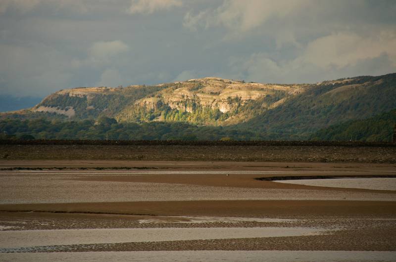
Seen from the sea front at Arnside, sunlight on the Chapel Head face of Whitbarrow.
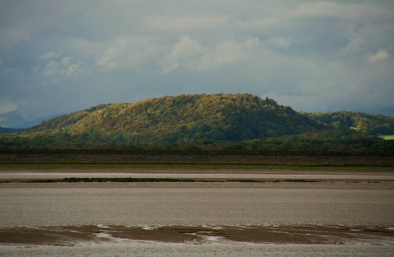
What's this? Yewbarrow rising from the Winster Valley, I had the pleasure of wandering through those woods yesterday.
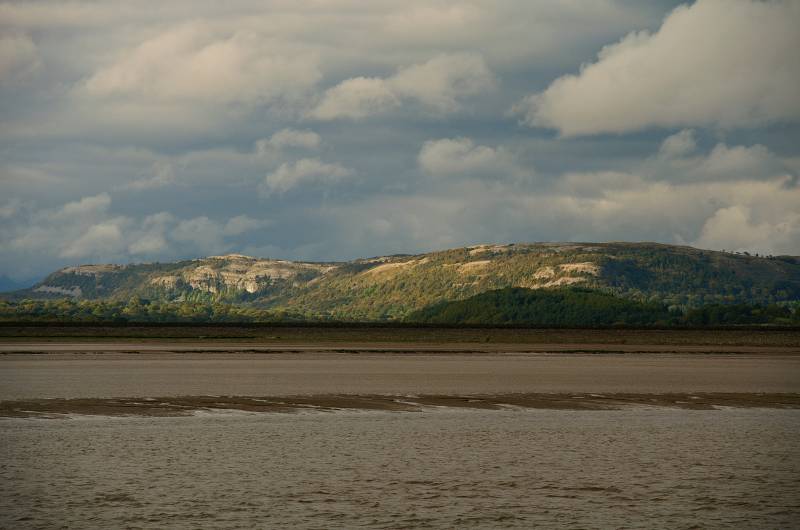
White Hill named by Norse settlers, better known to us as Whitbarrow.
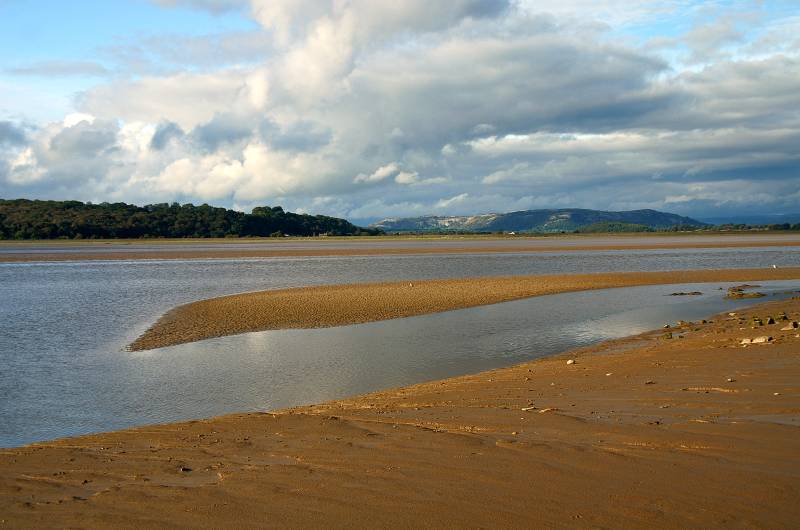
A magical view from the edge of New Barns Bay, Whitbarrow rising between the Lyth and Winster valleys.

The sylvan cliffs of Meathop Fell seen across the Kent Channel.

Sunlight on the Kent Viaduct and Heversham Head, with heavy cloud still hanging over the Lakeland Fells.

Looking to the white-washed buildings of Grange-over-sands.
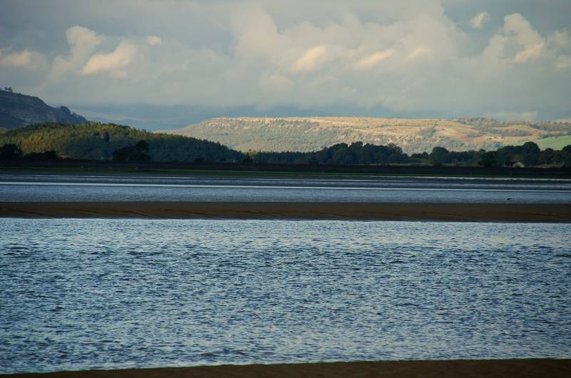
Standing in the distance lit by the late afternoon sun Scout Scat marking the eastern edge of Lyth Valley.

The scene over upper Morecambe Bay viewed from White Creek.
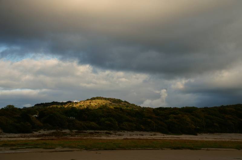
Arnside Knott seen from the beach at White Creek.

Reflections dance across the wet sand off Arnside Point, the silhouette across the horizon is Humphrey Head.
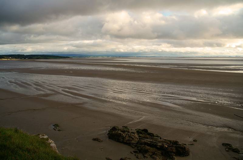
From the cliff path near Park Point views to Know End Point backed by the wide ark of the Lancashire coast.
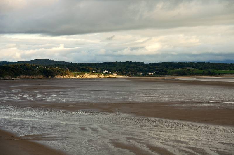
Sunlight on the limestone cliffs on the edge of Silverdale Bay.
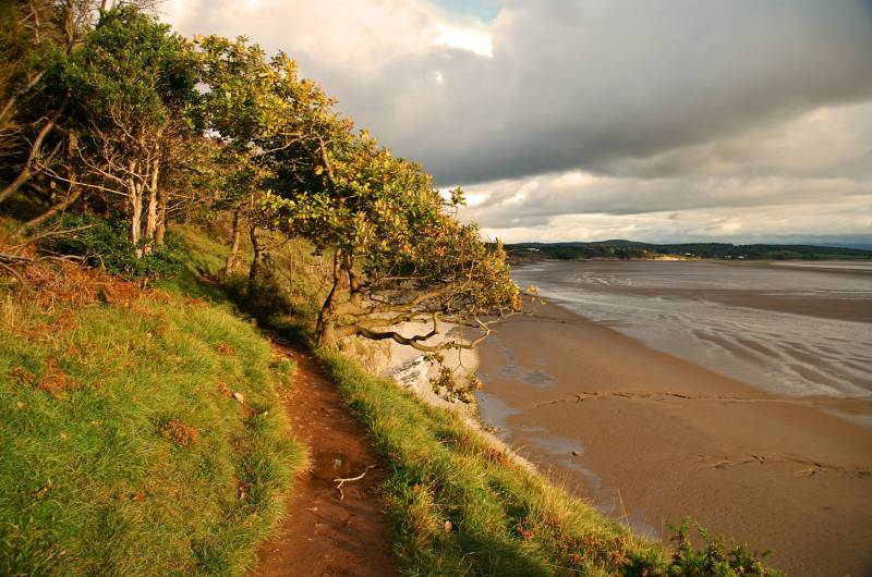
Stunning views along the Arnside/Silverdale coast.
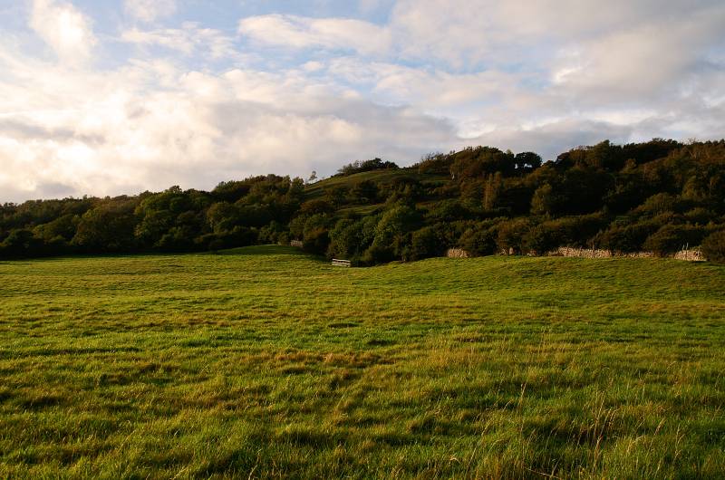
Heathwaite as seen from Far Arnside.
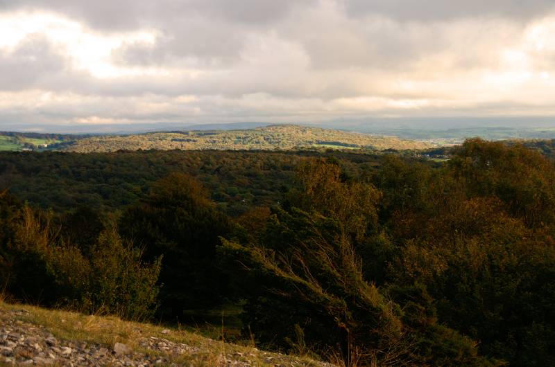
On the lower slopes of Arnside Knott with views over the tree tops to Warton Crag.
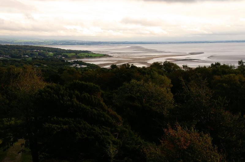
Heading up Arnside Knott looking back over the Lancashire coast.

Lets pull no punches here, I hate wind farms, I feel sorry for the Scots their government's obsessed with them, there's only one thing for sure, when we rely solely on wind power the lights will go out. We'll look back in thirty years time and think what the bloody hell were we playing at. Oh I nearly forgot this is the Walney Wind Farm less said the better.

Grange-over-sands seen from Red Hills.
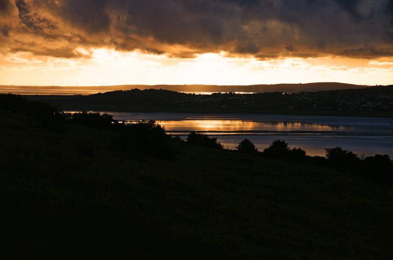
Soaking up the views from Red Hills, a wonderful golden glow on the Kent Estuary.
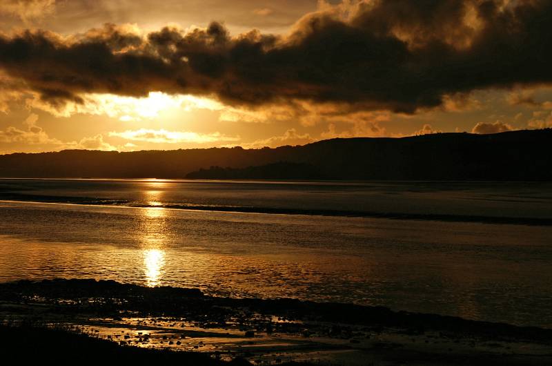
Looking into a South Lakeland sunset from near the Life Boat Station at Arnside.
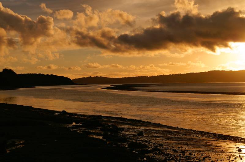
A wonderful golden glow over the Kent Channel.

Arnside lit by late afternoon sun.
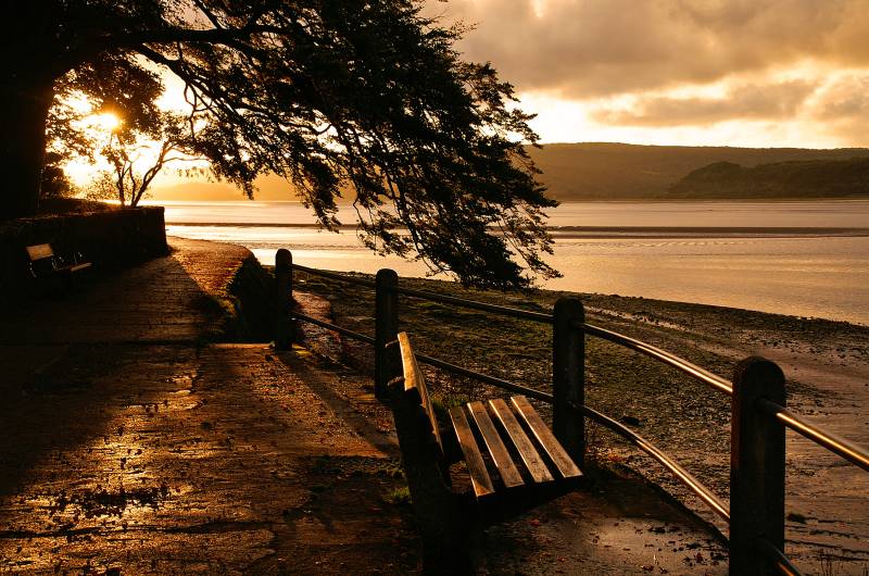
What a superb place to sit and wait for sunset, unfortunately I've had a phone call, my tea's on the plate.
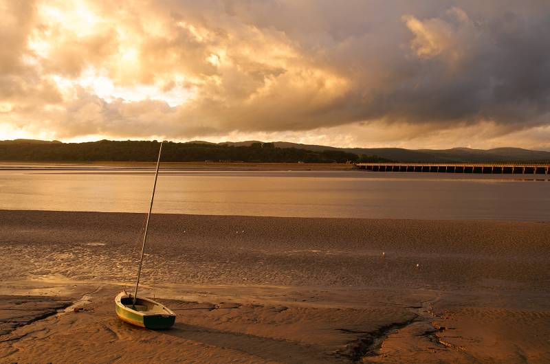
From the parked car on the Arnside sea front, a wonderful peaceful scene over the Kent Channel.